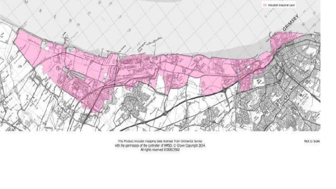
The South Humber Gateway (SHG) is an area of 1000 hectares (nearly 4 square miles) located on the south bank of the Humber Estuary, from the outskirts of Grimsby to East Halton Skitter. The land has huge development potential and is of considerable value to the local economy. However, the proximity to the estuary means that development must consider impacts on the protected features of the Humber. The estuary is protected under the following designations; SAC, SPA, SSSI and EMS, partly due to its ability to support upwards of 140,000 wintering birds.
The South Humber Gateway Mitigation Strategy was developed in partnership by North Lincolnshire Council (NLC), North East Lincolnshire Council (NELC), Environment Agency (EA), Natural England (NE), Lincolnshire Wildlife Trust (LWT), RSPB and Humber Nature Partnership (HNP).
In June 2010 a framework was produced to address the ecological challenges that future development of the Humber would bring, while considering the importance of these developments for the local economy and people. The overall aim was to address the declining bird populations on the Humber, while allowing for sustainable job growth in the area.

The comprehensive mitigation strategy allows for sustainable development to occur for the benefit of the local economy, whilst ensuring the estuary is protected. The focus of the strategy is to provide feeding and roosting habitats for waterbirds to offset land lost to development. The plan and creation of these sites is outlined in the SHG Ecological Mitigation N.E Linc Delivery Plan.
The plan details the legal obligation to ensure the protection of wildlife in development areas, the actions needed to create suitable habitats and recommendations for future site monitoring. Historic bird surveys were used to identity key species, functionally linked sites and potential mitigation sites.
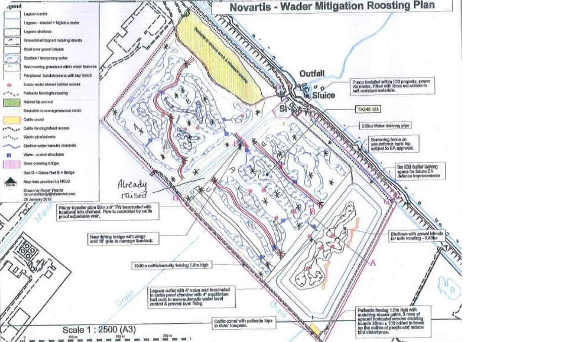
 Novartis- Wader Mitigation Roosting Plan. Developed by the SHG mitigation strategy group. Available on the North East Lincolnshire Council website in the strategic mitigation document.
This approach has allowed Local Authorities (LAs) to allocate the area for future development and investors, allowing for mitigation which benefits both developers and conservation. The SHG won the Royal Town Planning Institute's (RTPI) 2020 award for Excellence in Planning for the Natural Environment.
This innovative piece of work is believed to be the first time this approach has been used nationally, to tackle the challenges of creating more employability while protecting one of the UK's most important wildlife sites.
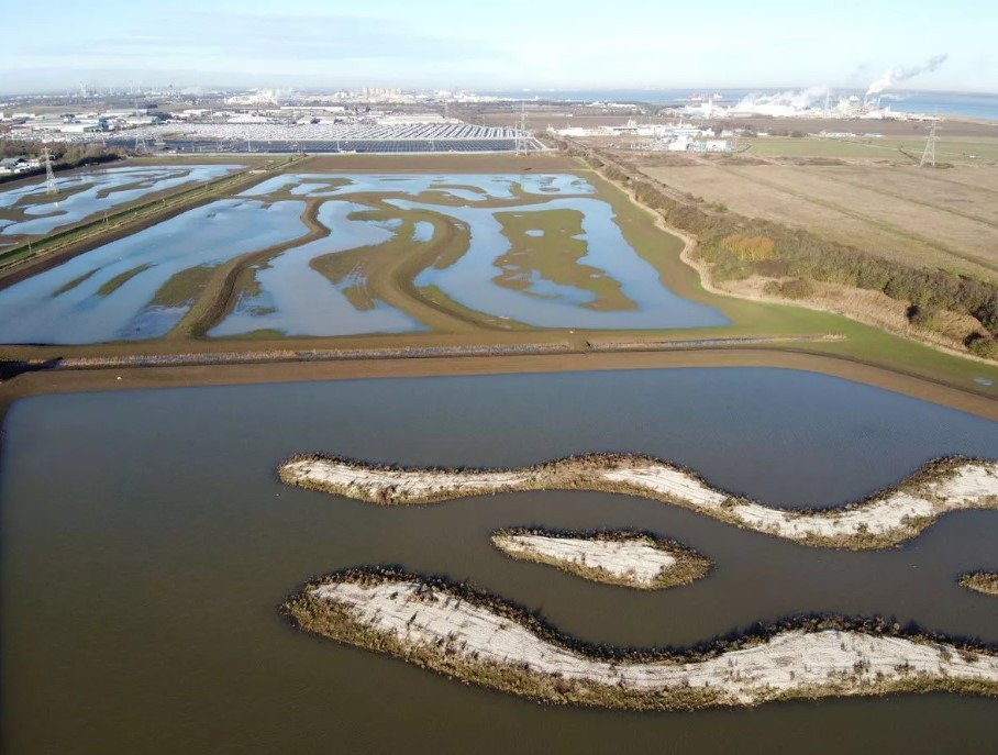
 Cress Marsh lagoon - part of the South Humber Gateway Mitigation Strategy - which in turn is part of the South Humber Industrial Investment Programme, known as SHIIP. (Image: NELC / Engie)